
From Zero to Hero: Complete GeoGuesser Guide for Beginners
Starting with GeoGuesser can feel overwhelming. You're dropped into random locations around the world with minimal context, expected to identify countries, regions, or even specific cities. But don't worry—with the right strategies and tools, you can go from complete beginner to confident player in just weeks.
Understanding the Basics
What is GeoGuesser?
GeoGuesser is a geography game that uses Google Street View imagery. You're shown a random location and must guess where in the world you are by clicking on a map. The closer your guess, the more points you earn (up to 5,000 points per round).
Game Modes
- World Map: Locations from anywhere on Earth
- Country Streaks: Guess the correct country in a row
- Famous Places: Iconic landmarks and tourist destinations
- Custom Maps: Community-created challenges
- Competitive Duels: Head-to-head matches against other players
Essential Geographic Markers for Beginners
1. License Plates
One of the easiest identifiers. Each country has distinct license plate colors and designs:
- Europe: Blue stripe on left (EU countries)
- USA: State-specific designs, usually rectangular
- Australia: White or yellow plates with state abbreviations
- South America: Varied colors (Argentina = black, Brazil = gray)
2. Language and Alphabet
Signs and text are huge clues:
- Cyrillic: Russia, Ukraine, Bulgaria, Serbia
- Nordic letters (å, ä, ö): Scandinavia
- Spanish accents: Spain, Latin America
- Asian scripts: Japanese, Korean, Thai, Vietnamese

3. Road Infrastructure
- Driving side: Left (UK, Australia, Japan) vs. Right (most countries)
- Road markings: Yellow vs. white center lines
- Bollards: Country-specific designs (Norway has red reflectors, Sweden has yellow)
- Road signs: Shapes and colors vary by region
4. Architecture and Building Styles
- Wooden houses: Scandinavia, Russia, Canada
- Red brick: UK, Netherlands, North America
- Concrete blocks: Eastern Europe, Soviet influence
- Adobe/stucco: Mediterranean, Latin America

5. Vegetation and Climate
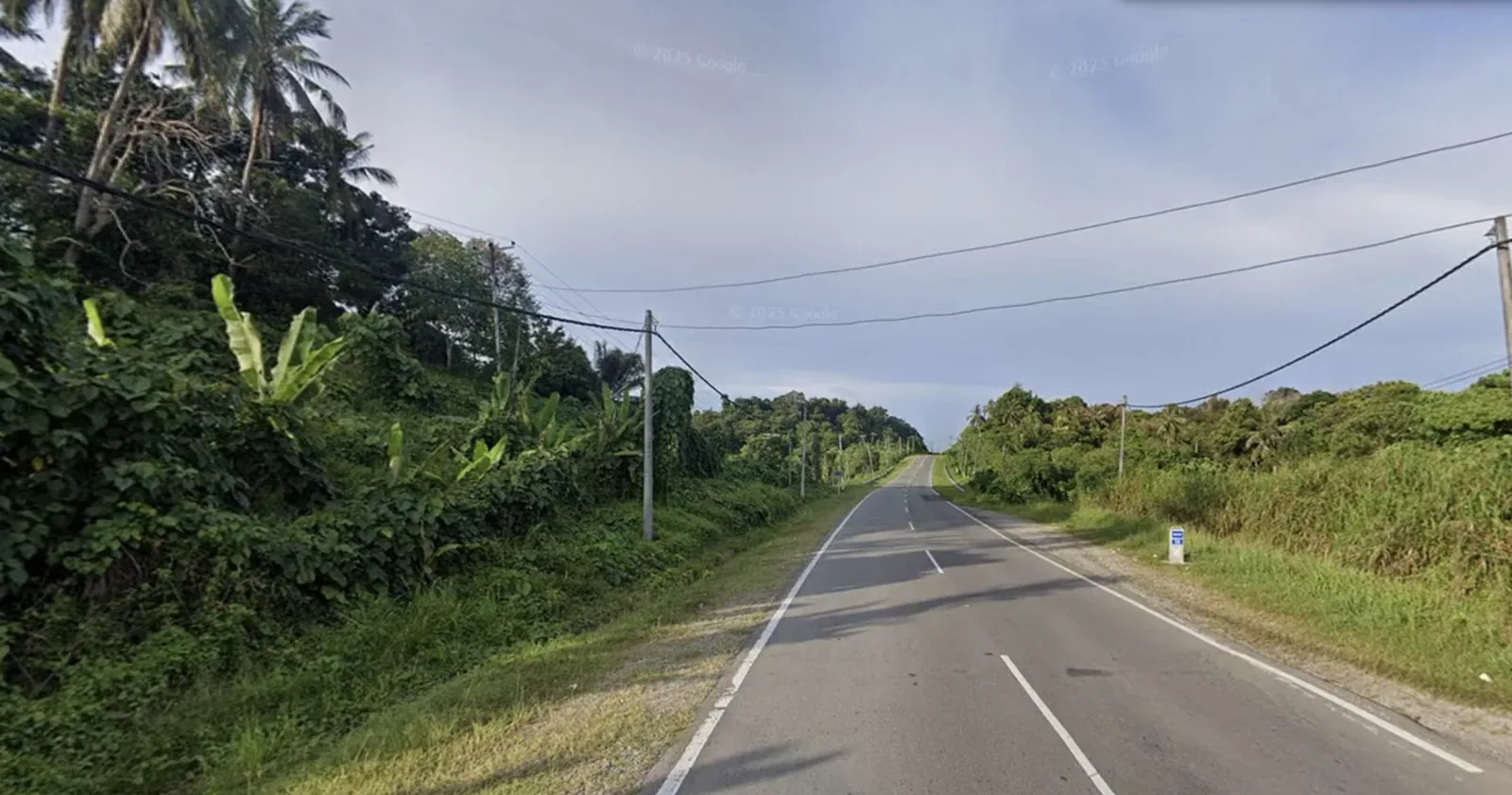
- Palm trees: Tropical/subtropical regions
- Birch forests: Northern Europe
- Eucalyptus: Australia
- Cacti: Desert regions (Arizona, Mexico)
Pro Tip: Start by identifying the continent, then narrow down to region, and finally to country. Don't try to guess the exact location on your first few attempts—focus on broad geographic identification.
The Beginner's Strategy Framework
Step 1: Scan for Obvious Clues (10 seconds)
- Look for visible text/signs
- Check for license plates
- Identify driving side
- Note any flags or national symbols
Step 2: Analyze the Environment (20 seconds)
- Assess climate (tropical, temperate, arctic, desert)
- Examine vegetation types
- Study architecture and building materials
- Look at road quality and infrastructure
Step 3: Use Process of Elimination (15 seconds)
- Rule out impossible continents
- Eliminate countries based on climate/vegetation
- Narrow down using language/alphabet
- Cross-reference multiple clues
Step 4: Make Your Best Guess (15 seconds)
- Place pin in most likely country/region
- If uncertain, choose central location in country
- In competitive mode, guess quickly to save time
A 60-second round
Seconds per step of the framework.
- Scan for obvious clues
- Analyze the environment
- Use process of elimination
- Make your best guess
Common Beginner Mistakes (And How to Avoid Them)
1. Over thinking Simple Clues
If you see clear English text and American-style buildings, it's probably the USA. Don't second-guess obvious indicators.
2. Ignoring Context Clues
Luxury cars + modern infrastructure + tropical = likely Singapore or UAE, not rural Thailand.
3. Not Using the Compass
The sun position can help determine hemisphere. Northern hemisphere: sun is southward. Southern hemisphere: sun is northward.
4. Giving Up Too Quickly
Even in difficult locations, there are always clues. Move around, look at multiple angles, and don't rush.
Training Exercises for Beginners
Week 1: Continental Recognition
- Play 30 rounds focusing only on identifying the correct continent
- Study maps of continents to understand geographic distributions
- Learn distinctive features of each continent
Week 2: Country Practice
- Play country-specific maps (e.g., "A Diverse World")
- Learn flags and license plates of major countries
- Study road sign designs by region
Week 3: Regional Analysis
- Practice identifying regions within countries
- Learn about urban vs. rural characteristics
- Study climate zones and vegetation patterns
Week 4: Speed and Accuracy
- Try Country Streak mode to test country recognition
- Play timed competitive matches
- Focus on quick decision-making
The four-week plan
- Continental Recognition30 rounds identifying only the continent
- Country PracticeCountry maps, flags and license plates
- Regional AnalysisRegions within countries, climate and vegetation
- Speed and AccuracyCountry Streak and timed competitive matches
Using AI to Accelerate Your Learning
While traditional practice is valuable, AI-powered tools like GeoGuesser Hacker can dramatically accelerate your learning curve:
- See what you miss: AI identifies 100+ markers you might overlook
- Learn patterns: Understand why certain visual cues indicate specific regions
- Build confidence: Success breeds engagement and motivation to learn more
- Save time: Years of geographic knowledge condensed into instant analysis
Learning Hack: Use AI for 10-20 guesses to see which clues it identifies. Then play 10 rounds without AI, trying to spot those same clues yourself. This alternating practice accelerates pattern recognition by 3-4x.
Resources for Continued Learning
YouTube Channels
- GeoWizard: Master-level gameplay and challenges
- Chicago Geographer: Educational geography content
- Geoguessr Joey: Tips and strategies
Online Communities
- r/geoguessr: Reddit community with guides and discussions
- GeoGuesser Discord: Active community for multiplayer and tips
- GeoHints: Comprehensive guide website
Practice Maps
- A Diverse World: Balanced global coverage
- An Urban World: City-focused practice
- A Rural World: Countryside locations
Setting Realistic Goals
Beginner (0-1 month)
- Consistently identify correct continent (80%+ accuracy)
- Recognize 30+ countries by their distinctive features
- Average 2,000+ points per round
Intermediate (1-3 months)
- Identify 100+ countries accurately
- Narrow down to regions within countries
- Average 3,000+ points per round
- Complete 10+ country streak consistently
Advanced (3-6 months)
- Recognize subtle regional variations
- Make educated guesses within specific regions
- Average 4,000+ points per round
- Compete in ranked multiplayer successfully
The three stages
Months since you start playing, on a 0–6 month scale.
Final Thoughts
GeoGuesser mastery is a journey, not a destination. Every round teaches you something new about world geography, architecture, cultures, and infrastructure. Whether you choose to learn through traditional practice or accelerate your progress with AI assistance, the key is consistent play and genuine curiosity about our diverse planet.
Remember: even expert players started exactly where you are now. The difference is they stuck with it, learned from every guess, and gradually built an intuitive understanding of global geography. With dedication (and maybe a little AI help), you'll be making confident, accurate guesses in no time.
Ready to start your GeoGuesser journey? Install GeoGuesser Hacker to see which geographic markers matter most, accelerating your learning by showing you what experts notice instantly.